Integration Details
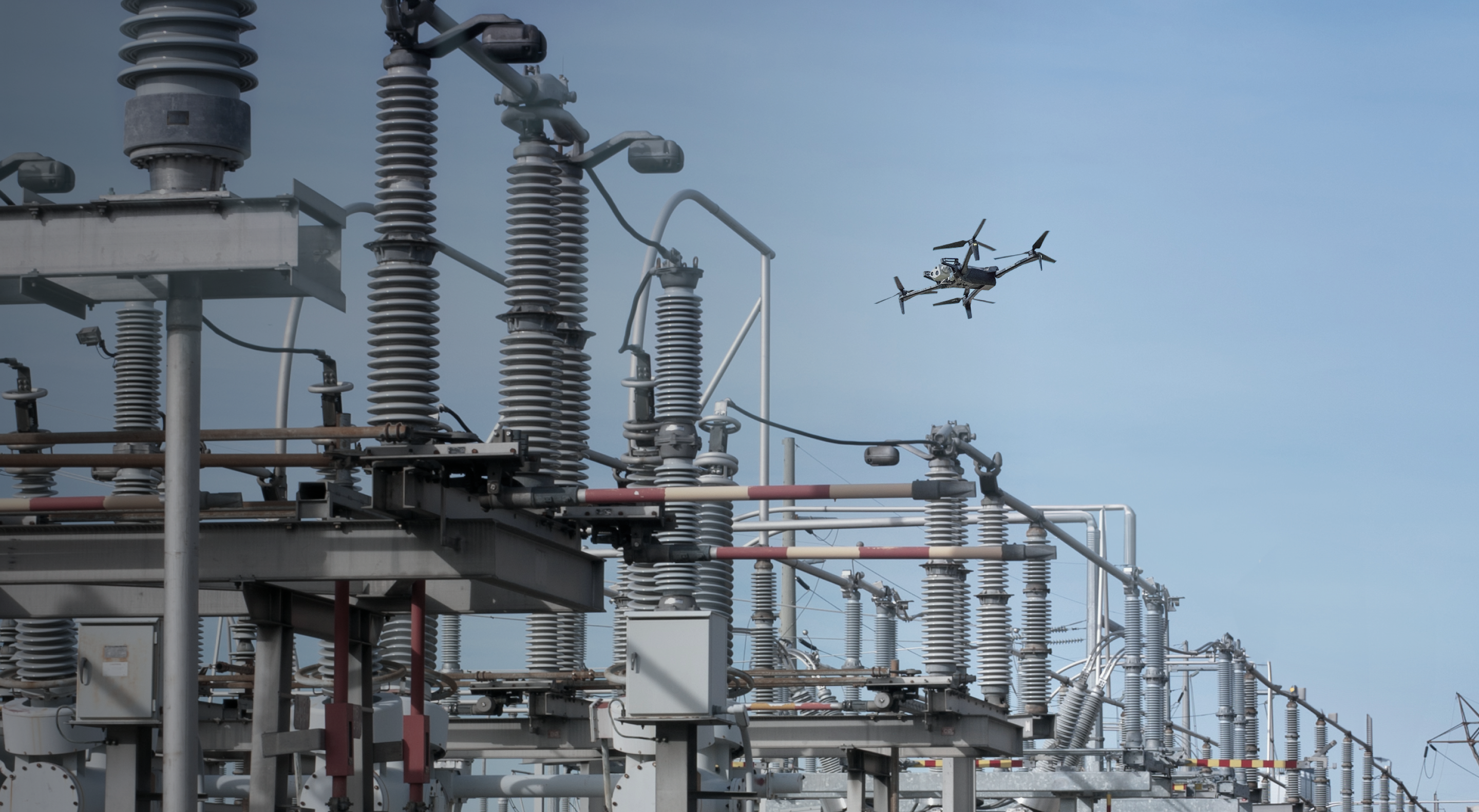
Through a pre-built integration between the systems, joint customers can easily use Skydio and RaptorMaps for a range of solar farm use cases, ranging from drone inspections to security ops.
What this integration solves for
Faster Time to insight
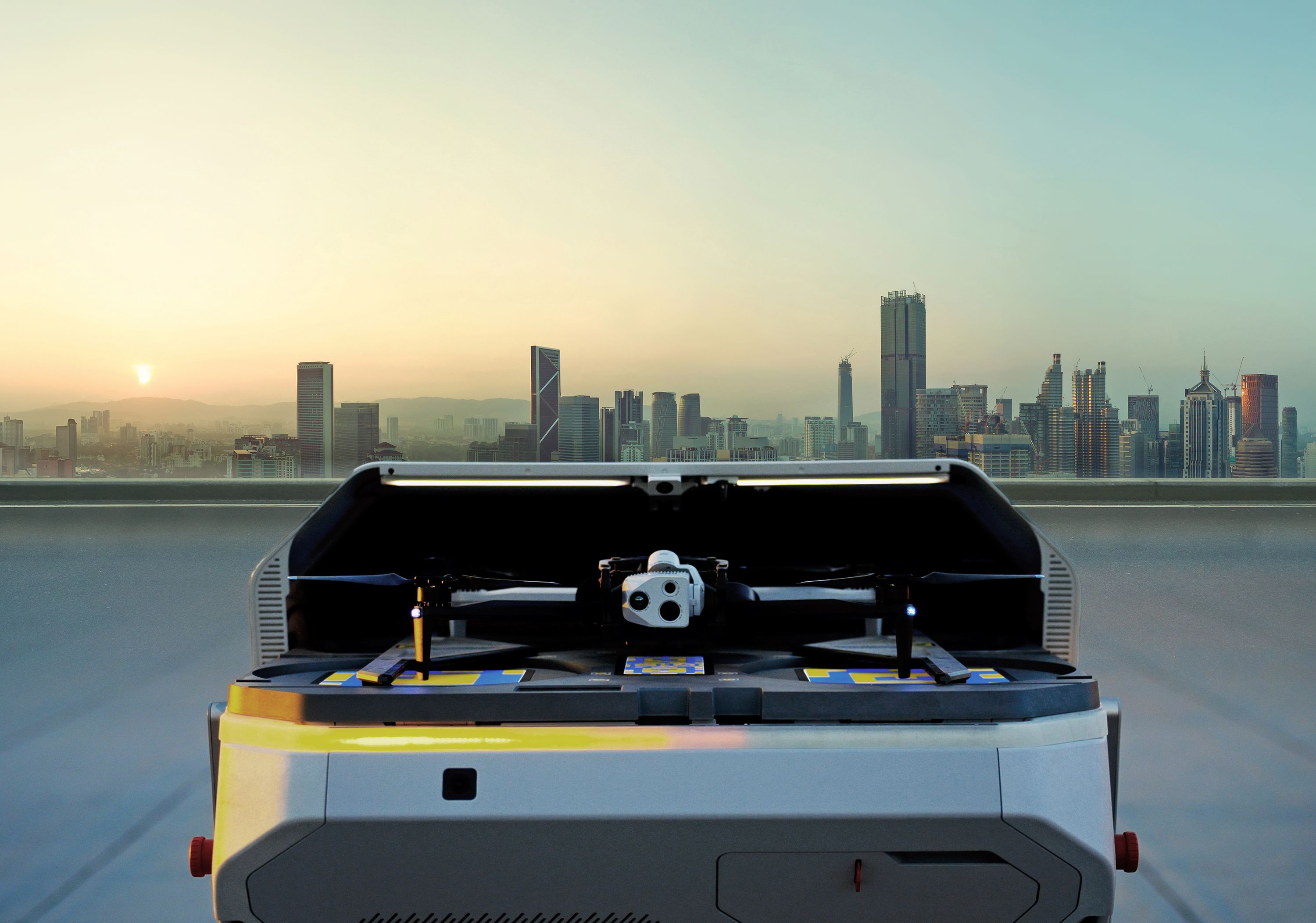
Skydio drone inspections can be conducted remotely, with full (remote) access to all drone-captured media, enabling faster response times
No coding / IT required
Raptor Maps can easily activate this integration - no need to fight for IT resources.
Reduce costs & manual work
By automating inspections with docked drones, pilots aren’t required to be on site, allowing for more frequent inspections and a higher likelihood of catching failing systems or components.
Monitor your entire operation
Roads, fences, inverter pads, and vegetation activities can also be monitored, giving you a 360 view of your entire site.


