LiDAR vs photogrammetry with Skydio 3D Scan
Synopsis
Get a sneak peek into the results from tests comparing drone photogrammetry to LiDAR.
Learn about the accuracy, application, cost, and operational complexity of these technologies especially for mapping and surveying. The session is designed to provide a clear, data-driven perspective of LiDAR and photogrammetry in drone programs as well as debunking common myths.
Watch Ted Strazimiri, CEO of SkyDeploy, and Travis Sachs, COO of 3DS Technologies, along with Skydio to learn:
- In-depth insights into the accuracy comparisons between drone-based photogrammetry and LiDAR. -Practical knowledge on the best applications for each technology, considering factors like cost and operational complexity.
- A clear distinction between myths and realities in using these technologies for effective mapping and surveying.
Learn more about Skydio 3D Scan.
Watch Time
56 Mins 18 Secs
Related Webinars
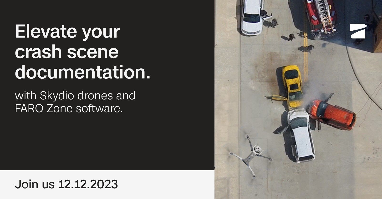
Elevate crash scene documentation with Skydio and Faro
Watch webinar
Live Talk: Optimizing workflows with Skydio 3D Scan Indoor Capture
Watch webinar
Autonomous Drones for energy and utilities: An EPRI research study
Watch webinar