


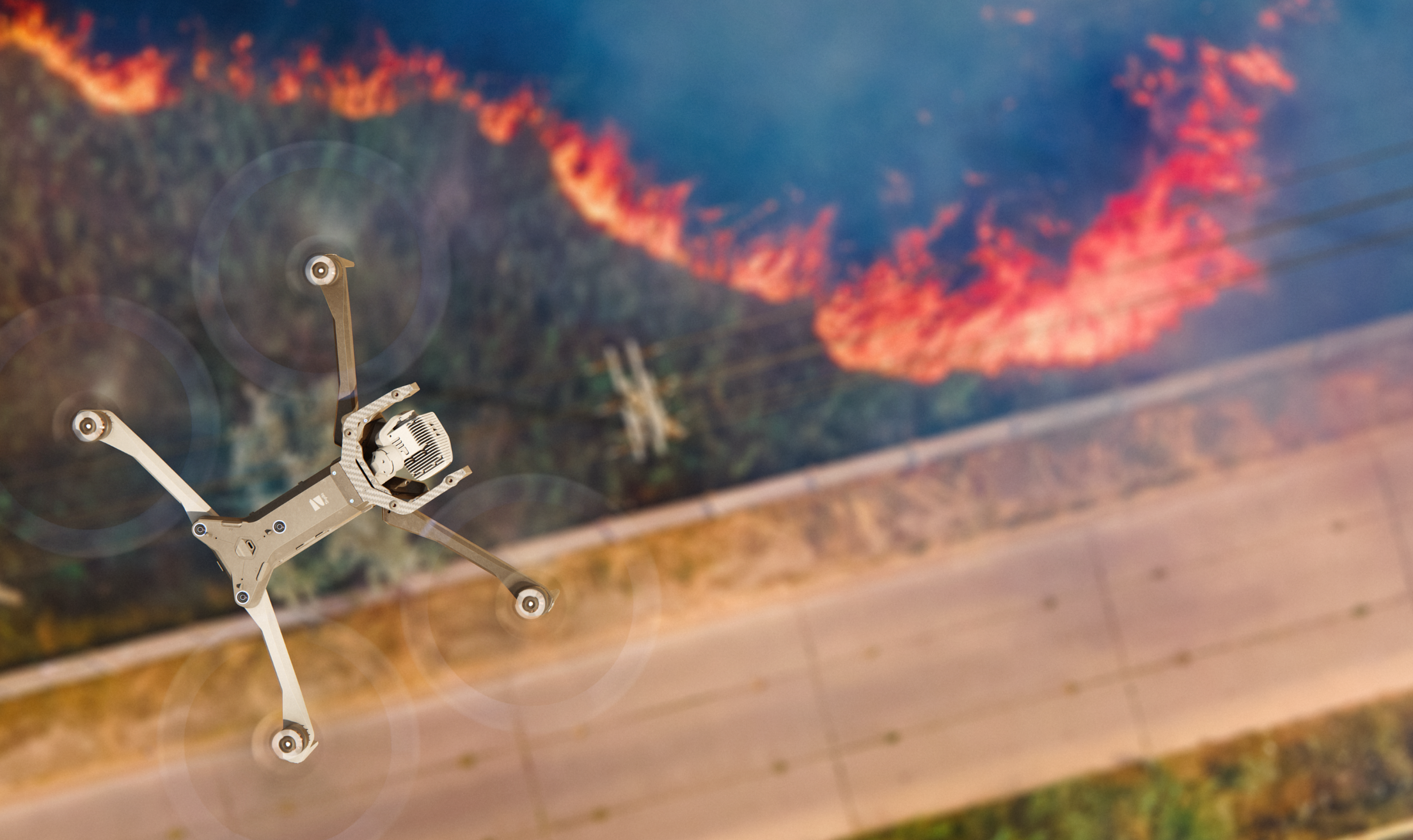
We are using the drone to assess the environment conditions. It's not just our infrastructure failing or finding the defects that guide the missions, but it's also every time that we get the drone up in the air, scanning the environment to identify potential issues that could pose a threat to our infrastructure. And ultimately, what we're trying to do is get to the issue first for the benefit of our communities.
Whitepaper
The future of wildfire management: Drones as a vital tool for utilities
As wildfires grow in frequency and intensity, utilities across the United States are engaging drone technology to protect communities and ensure grid reliability. With vast service areas often covering remote and rugged terrain, drone solutions are proving to be indispensable tools for prevention, early detection, and response to wildfire threats.
The growing challenge of wildfires
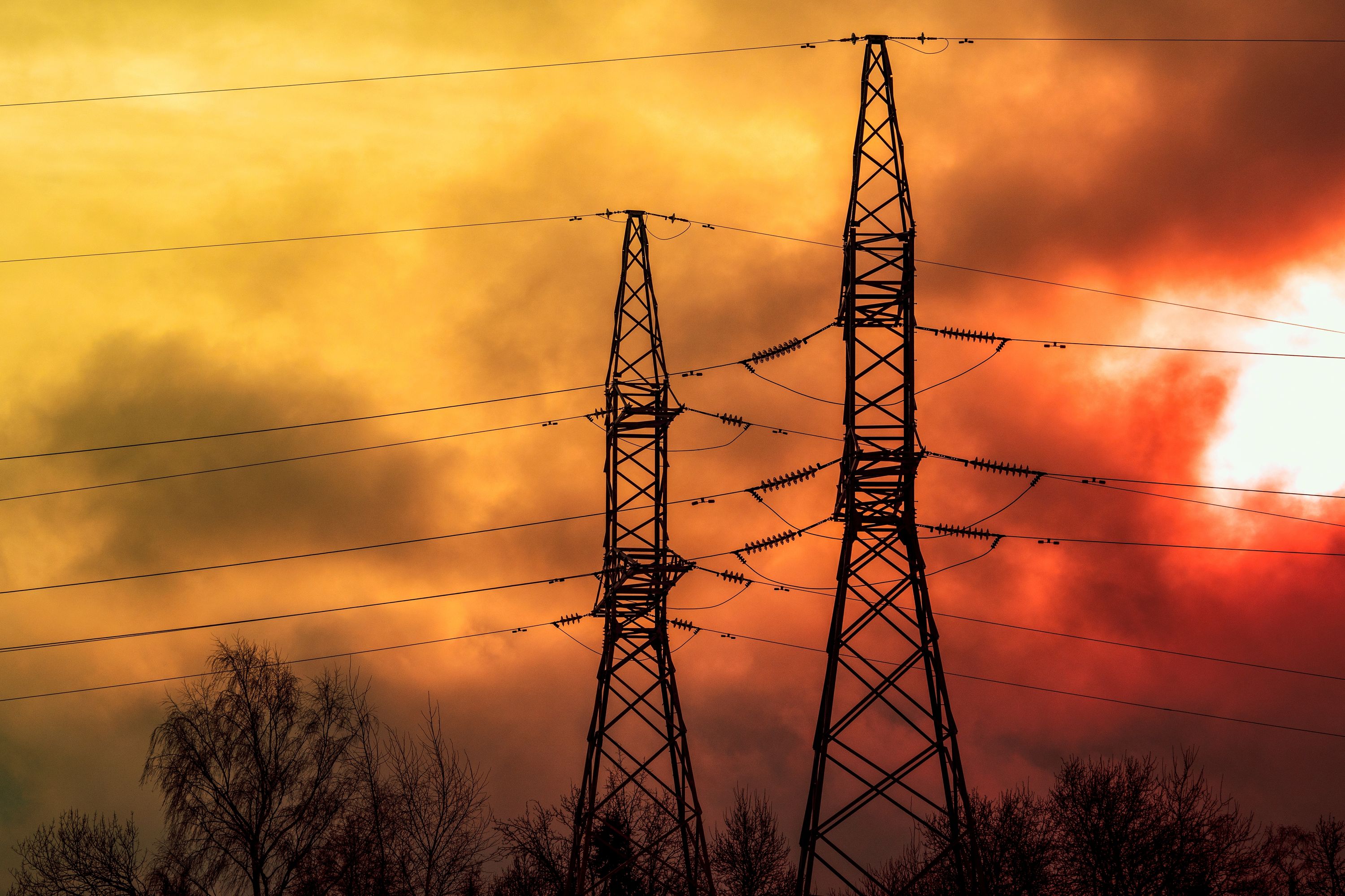
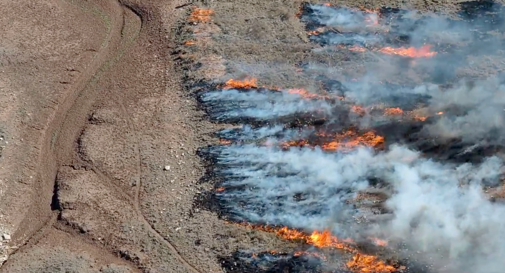
Since 1980, wildfire activity in the U.S. has grown by 125% year-over-year, according to FEMA. In 2023 alone, more than 7 million acres were impacted. Utilities like AEP Texas and Idaho Power face unique challenges in managing wildfire risks across expansive and diverse landscapes. Traditional inspection methods, such as foot patrols, are not only time-consuming but also expose personnel to hazardous conditions and may fail to capture crucial details.
As Mike Spengler, UAS Program Manager with Idaho Power, said “The traditional way has been foot patrols and they take a while, requiring personnel to navigate to remote locations with challenging terrain.”
AEP's proactive risk management
Drones have emerged as a transformative solution, enabling utilities to proactively manage wildfire risks. At AEP Texas, Vice President Alex Ramirez oversees efforts to enhance situational awareness and mitigate fire risks using advanced drone technology. The company has deployed drones for vegetation monitoring, asset inspection, and real-time environmental assessments.

“
Vegetation management
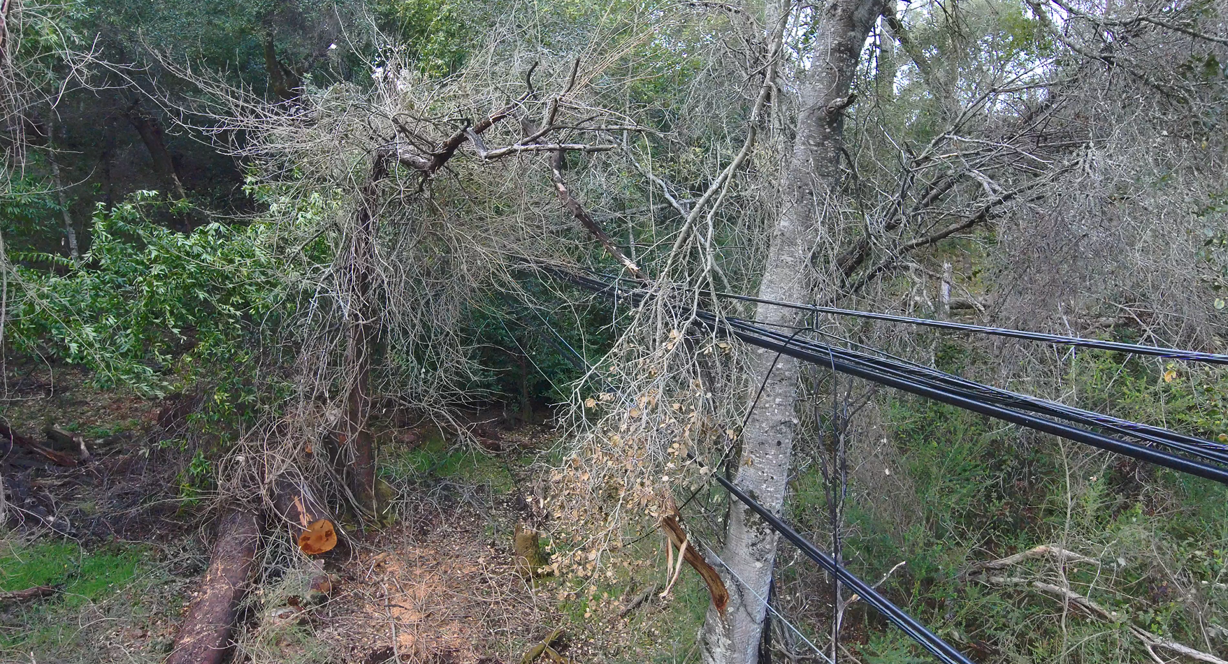
One of the key applications is using drones along with satellite imagery and sensors to monitor vegetation density and identify potential fuel sources for wildfires. This capability allows AEP Texas to pinpoint high-risk zones and prioritize inspections before a fire occurs.
Ramirez emphasizes that drones are used not just for identifying vegetation risks but also for scanning the ground and soil conditions to assess fire vulnerability.
By providing aerial perspectives and leveraging AI for data analysis, drones enable utilities to optimize their vegetation management strategies. In Texas, where brush fields can stretch for miles, drones are used to identify areas requiring proactive trimming or clearing, preventing electrical equipment from coming into contact with potential fire hazards and reducing the risk for propagation in the event of a fire.
Enhancing safety and efficiency
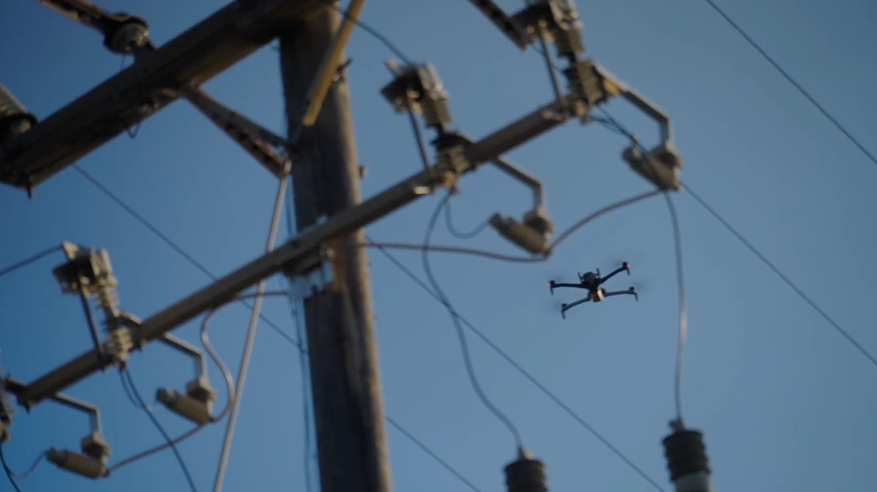
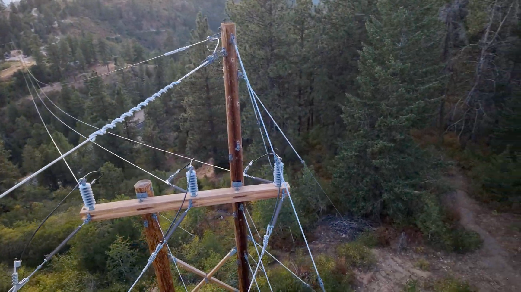
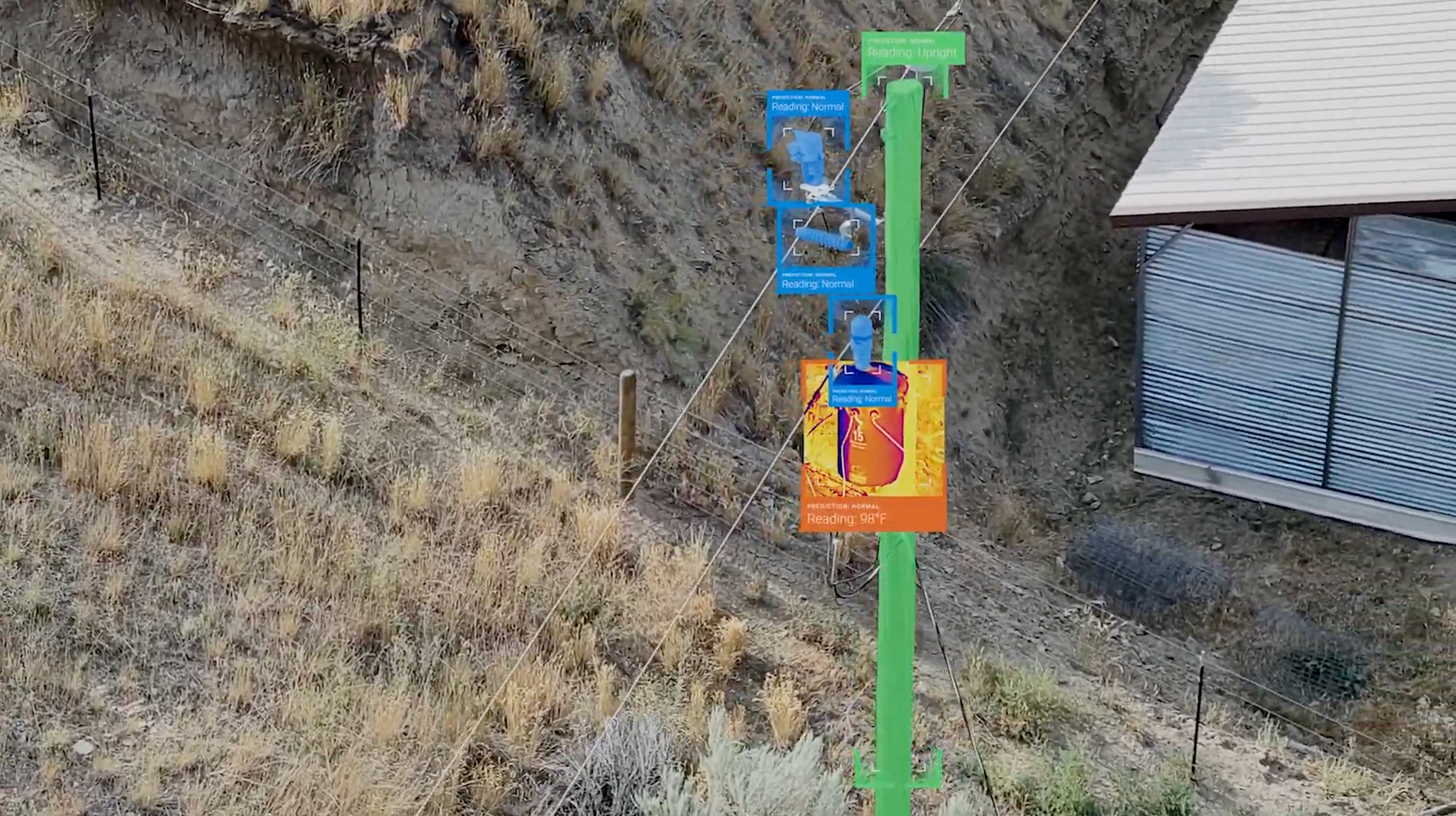
For utilities like Idaho Power, drones have revolutionized inspection processes. Traditionally, patrolling power lines and inspecting infrastructure involved extensive manual labor, often in dangerous conditions. Drones that can fly in GPS denied or in high EMI environments now allow operators to inspect hard-to-reach assets from the safety of the ground. These devices capture high-resolution images and real-time data, enabling precise evaluation of equipment health and vegetation encroachment.
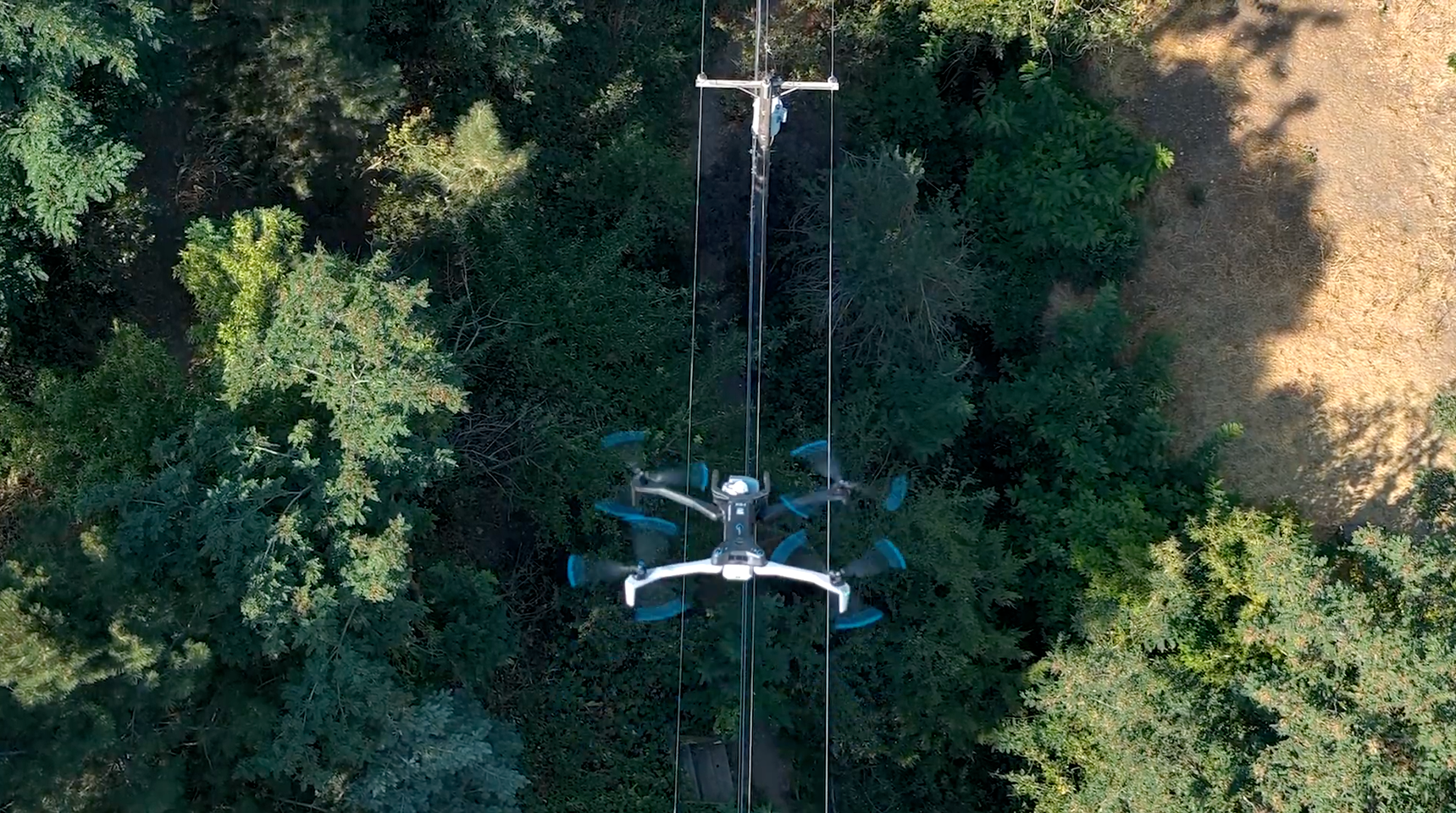
By replacing foot patrols with drones, utilities can cover larger areas more efficiently while minimizing risks to their crews. Idaho Power will often use helicopters for aerial surveys as a quick solution to assessing vegetation or fire spread. However, Spengler noted that tree canopies block a clear ground view from a helicopter. “There are some areas that are just really tough to inspect and those are the areas that the drones can do a very good job,” says Spengler.
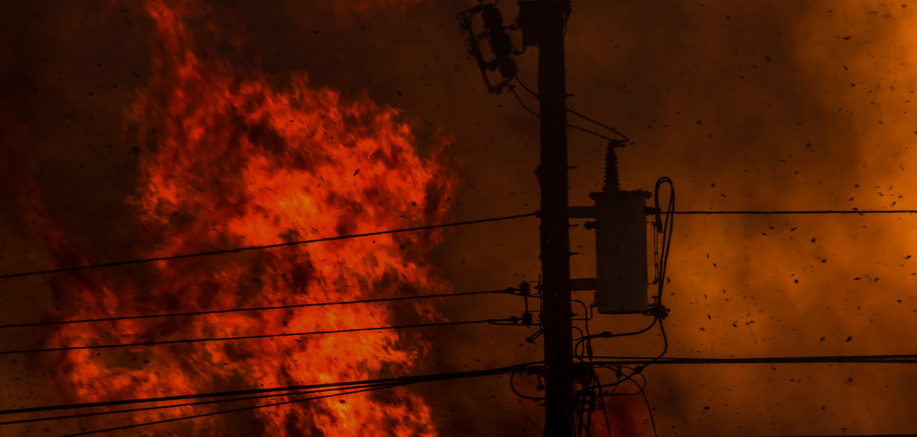
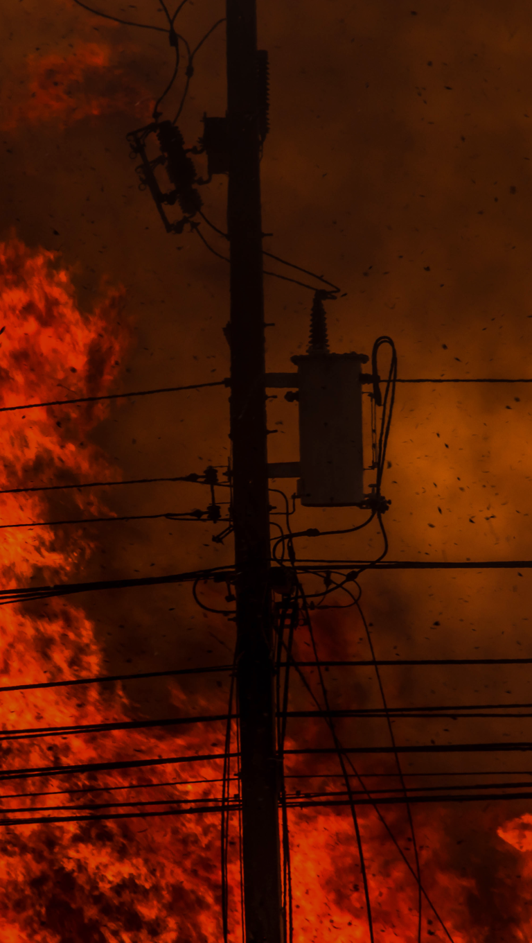
Responding to wildfire incidents
In active wildfire situations, drones play a crucial role in emergency response. Utilities deploy drones to assess fire spread, inspect infrastructure damage, and identify safe zones for field crews. Their ability to navigate rugged terrain and provide thermal imaging makes them indispensable for real-time situational awareness.
Ramirez highlighted the potential of using drones for post-incident recovery as well. Drone imagery is used to assess the effectiveness of fire-hardening measures and evaluate infrastructure damage. This data not only guides recovery efforts but also supports public communication, providing transparency about the scale of the incident and the utility’s response.
Looking ahead
As the utility industry continues to innovate, drones are becoming central to wildfire risk management. AEP Texas plans to integrate drones with advanced AI and machine learning to automate inspection processes and enhance decision-making. The goal is to create autonomous systems where drones are triggered by sensors to perform inspections and provide actionable insights without human intervention.
.
“We're really deploying the drone to collect information that will help us on multiple fronts. Even though the intelligence is specific to vegetation, it triggers an action for the drone to go out there. And then we're not just looking for the vegetation that could pose a threat or address a risk tree. We're also out there looking at other wildlife that could pose a threat to infrastructure,” says Ramirez. By proactively addressing risks, improving safety, and streamlining operations, utilities are transforming how they protect their assets and communities.
AEP Texas has also partnered with university research centers and the state to develop tools that help them quickly identify high risk wildfire zones with the use of artificial intelligence.
In summary
Drones have become a necessity for utilities for multiple reasons from data documentation for research purposes, to vegetation management, to providing a safer and faster solution to protecting infrastructure before, during, and after an active wildfire.
